Transportation Programs

In addition to plans and studies, the Mid-America Regional Council offers several transportation programs to connect the region. 

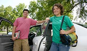
Two carpoolers standing next to car

WAY TO GO

WAY TO GO encourages commuters to take alternative transportation — like biking, walking, riding the bus or carpooling — to reduce the number of single-occupant cars on the roads.

Mother putting child in car seat

Destination Safe

Destination Safe brings a diverse group of partners involved in education, engineering, enforcement and emergency response together to make our roads safer for all travelers.

Green traffic light with blue sky background

Operation Green Light

Operation Green Light is a cooperative effort to improve the operation of traffic signals and incident response on major routes throughout the Kansas City region to help reduce unnecessary delay, improve traffic flow and reduce emissions that contribute to ozone pollution.

People reviewing street map

Planning Sustainable Places

Planning Sustainable Places uses federal funds to support local planning and project development activities that further the creation of places that are vibrant, connected and green.

People walking on the Trolley Track trail

Regional Trails and Bikeways Map

MARC’s Trails and Bikeways Map is a regional effort to map more than 2,000 miles of trails and bikeways across the Kansas City region.

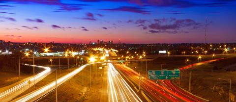
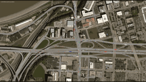
Aerial view of highways and roads

Travel Model

The Regional Travel Demand Forecast Model is a tool to forecast traffic and travel in the Kansas City metro area. Its primary purpose is to support the development of the Metropolitan Transportation Plan. 

False