Data & Maps Articles

October 1, 2024 | Posted in Data & Maps
Brightly colored people figures

Find population, household, housing, workforce, and at-risk population data

August 29, 2023 | Posted in Data & Maps
Family dancing outdoors at the Overland Park Farmer's Market

Find housing, demographic, land use, economic and workforce data.

April 4, 2023 | Posted in Data & Maps
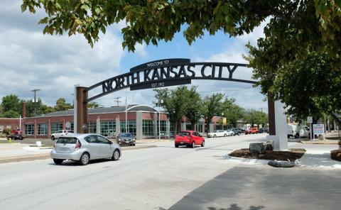
Archway over downtown North Kansas City

Find housing, demographic, land use, economic and workforce data

October 18, 2022 | Posted in Data & Maps
2020 Census worker talks with a resident about completing the questionnaire.

County-level data from the 2020 Census reveals changing demographics and increasing diversity across the Kansas City region.

June 17, 2022 | Posted in Data & Maps
Drawing of a diverse group of people

The increase in population diversity contributed to a dramatic shift in how the region is growing, from one where all the growth is focused on the edges of the region while the center declines, to one where all areas are now growing.

September 21, 2020 | Posted in Data & Maps
Artistic enlargement of COVID-19 virus

The Kansas City region now has access to a new and improved user-friendly tool to track the COVID-19 pandemic as it unfolds.

November 8, 2019 | Posted in Data & Maps
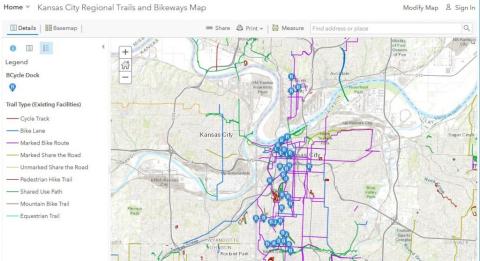
Image of the Kansas City Regional Trails and Bikeways Map created with GIS

Nov. 13, 2019, is the 20th annual international GIS Day.

September 16, 2019 | Posted in Data & Maps
GEAR Center Challenge logo

The GEAR grant will combine the expertise of three partner organizations to tailor a replicable, scalable curriculum to meet public sector data skills needs in Greater Kansas City.