How are you celebrating GIS day? Nov. 13, 2019, is the 20th annual international GIS Day. The day aims to educate people about the power of GIS and how it can be beneficial.
Used by organizations in virtually every field, Geographic Information Systems (GIS) add a spatial dimension to data so that information can be visualized on a map, analyzed geographically and understood faster and better. Rooted in the science of geography, GIS integrates many types of data.
GIS analyzes spatial location and organizes layers of information into visualizations using maps and 3D scenes. It is used to communicate, perform analysis, share information and solve complex problems. With this unique capability, GIS reveals deeper insights into data, such as patterns, relationships and situations — helping users make smarter decisions.
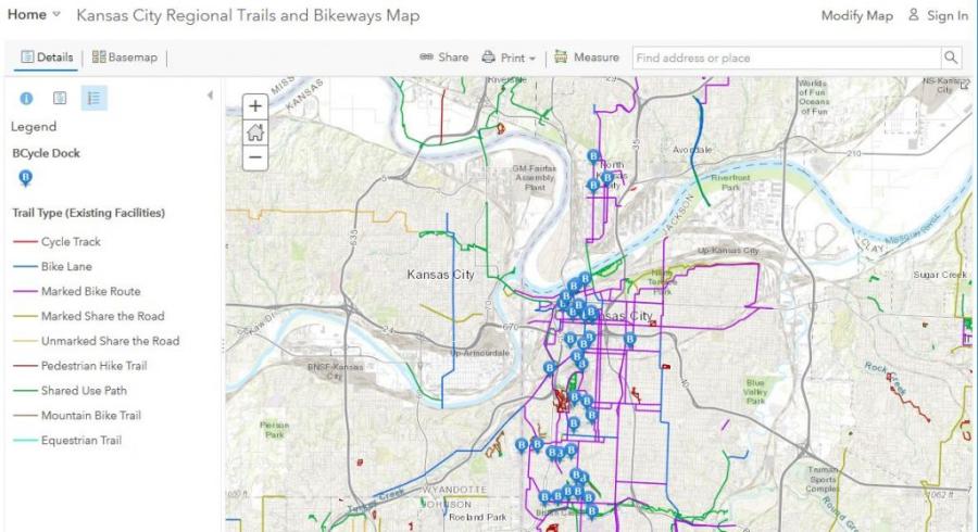
At MARC, we use GIS to help with a wide variety of plans and programs. For example, our GIS team maintains the centerline map files that help 911 dispatchers locate callers and send first responders to the right locations. Our transportation department uses GIS to map current transportation projects and evaluate future ones. Our environmental programs map land use patterns, natural resources, watersheds and more. We’ve also used GIS maps to identify food deserts, compare the location of safety net health clinics to concentrated areas of poverty, visualize changes in population over time, and much more. Through GIS, we bring data, research and maps together to inform plans that help improve our regional quality of life and ensure more efficient use of resources.


