Data and Maps

Providing data, research and maps that inform regional efforts

The Mid-America Regional Council maintains many datasets and maps describing boundaries, resources and features in the Kansas City region. MARC provides this information to increase regional awareness on shared issues, to provide a public service, and to assist local governments and planning agencies with their own maps, analyses and decision-making processes.

Geographic information systems (GIS) are used every day to assist regional planning efforts such as transportation planning, environmental programs, and emergency services.

Data and Maps Spotlight

Explore our most popular community data tools that provide commonly requested information. 

Family dancing outdoors at the Overland Park Farmer's Market

Population Explorer

The Population Explorer provides access to commonly requested demographic, economic, household and health data in map, chart and tabular form.

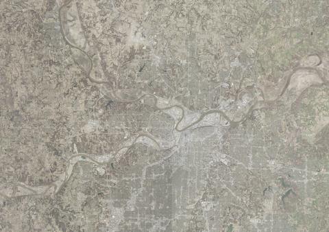
Aerial image of the MARC region

Quick Stats

Fast access to population, household, housing, workforce and at-risk population data in the region, available by city or county. 

aerial view of suburban neighborhood

Community Views

Community Views provides valuable insights and information about the demographics of residents, housing, characteristics of the physical environment, and the workforce of communities throughout our region.

MARC Data Catalog

Browse our collection

Find data, services, web maps, and applications created by MARC Data and Digital Services. You can search and filter by category, type, or keyword.

Woman and man talking at a computer

Committees

MARC supports collaboration among area governments on cross-jurisdictional GIS projects and cost-sharing endeavors. This work is coordinated through the KC Metro GIS Committee, a regional consortium of GIS professionals.

National Neighborhood Indicators Partner logo